










Products

Compute

Compute

Virtual Machines

Create and manage compute instances

GPU Services

Train, analyse and deploy AI, ML, deep learning or HPC workloads

Spot instances

Run non-critical, fault-tolerant or interruptible workloads

Cloud locations

CloudFerro Public Cloud locations

Deploy across Data Centres in Europe

Start Free Trial

Create an account and apply for 250€ free credits

Storage

Storage

Block Storage

Persistent storage for Virtual Machines

Object Storage

Scalable, S3-compatible object storage

Cloud locations

CloudFerro Public Cloud locations

Deploy across Data Centres in Europe

Start Free Trial

Create an account and apply for 250€ free credits

Containers & Serverless

Containers & Serverless

Managed Kubernetes

Deploy production-grade Kubernetes clusters through GUI, CLI or Terraform

Functions

Run event-driven functions, lightweight workflows and scheduled tasks

Cloud locations

CloudFerro Public Cloud locations

Deploy across Data Centres in Europe

Start Free Trial

Create an account and apply for 250€ free credits

Databases & Analytics

Databases & Analytics

Managed Databases

Run SQL and NoSQL databases on dedicated VMs in EU data centres

Cloud locations

CloudFerro Public Cloud locations

Deploy across Data Centres in Europe

Start Free Trial

Create an account and apply for 250€ free credits

Network

Network

Network Services

Build secure cloud networks with OpenStack, VPN, and firewalls.

Cloud locations

CloudFerro Public Cloud locations

Deploy across Data Centres in Europe

Start Free Trial

Create an account and apply for 250€ free credits

AI & Machine Learning

AI & Machine Learning

MLOps Studio

Build and run end-to-end ML pipelines on a managed Kubeflow platform

Workflows

Automate data and ML workflows with a managed Apache Airflow environment

AI Experiments

Track experiments, manage model versions and monitor production models

Managed GenAI

Use a fully managed, privacy-first GenAI service with OpenAI-compatible endpoints

Cloud locations

CloudFerro Public Cloud locations

Deploy across Data Centres in Europe

Start Free Trial

Create an account and apply for 250€ free credits

Private Cloud

Private Cloud

Private Cloud

Dedicated cloud infrastructure

On-Premise Private Cloud

Deploy on your hardware

Edge Private Cloud

Air-gapped tactical deployment

Cloud locations

CloudFerro Public Cloud locations

Deploy across Data Centres in Europe

Contact Sales

Contact our sales team to discuss your Private Cloud requirements, deployment options, and the best model for your organisation.

EO Products & Services

EO Products & Services

EO Data Catalogue

Online, locally, immediately access to Earth observation data

EO Data ingestion

Metadata management and distribution

EO Processing

Satellite data processing at scale

Earth Observation Data

Optimised for large EO datasets

Managed Notebooks

Start working in a managed JupyterLab environment without setup

EO Data Transfer

Fast, scalable EO data transfer

Exos

Access to data stored across multiple storage sites

CREODIAS Platform

Access petabytes of Copernicus Data through one unified platform.

EO Data Explorer

Visualise and analyse satellite imagery directly in your browser.

Solutions
By industry

Space

Use cloud infrastructure to store and process Earth observation data

Defence

Process data and run secure workloads for defence applications

Meteo

Process and analyse weather and climate data in the cloud
by use cases

EO Data Platform

Process Earth observation data directly in the cloud

Global AI embeddings in Earth Observation

Use EO embeddings to accelerate satellite data analysis and AI model training.

Payload Data Ground Segment as a Service

Transform raw satellite instrument data into ready-to-use EO products
Resources
SUPPORT

Customer Support

Expert help for your cloud environment

Documentation

Guides, references and technical docs

Status Page

Real-time service availability

Terms & Conditions

Legal terms governing our services
RESOURCES

Blog

Technical articles and product updates

EO Articles on CREODIAS

Earth Observation insights and tutorials

Webinars & Trainings

Live sessions and on-demand courses
INSIGHTS

case studies

Discover how CloudFerro customers solve real-world challenges

Deploy close to your users across our European data network

Company
COMPANY

About CloudFerro

Our story, mission and values

Careers

Join our growing team

Case Studies

Discover CloudFerro's projects

Project Gateway

New European DataSpace

Procurement Announcements

Official procurement notices
Why CloudFerro

Sustainability

Green Cloud powered by renewables

Certificates & Insurance

ISO 27001, BSI and more

For investors

Investor relations & reports

CloudFerro Partner Programmee

Grow your business with us
insights
Pricing

Save money with transparent pricing and various plans

Pricing offers automatic savings based on monthly usage and discounted rates for prepaid resources. Contact us today.

PRICING

Pricing

Compare services, features and costs across all CloudFerro offerings

Pricing plans

Flexible payment methods designed for every team size and workload

Remote Transfer for EODATA offer

Pricing for EO data transfers without limitations or queues

AMS

Area Monitoring System as a Service

As a next step of supporting The Common Agricultural Policy (CAP) of the European Union, GeoVille provides unique AMS solution powered by CloudFerro's cloud and EODATA - Copernicus Data Space Ecosystem repository. AMS as a Service is the next step after the Sen4CAP solution and the product features were developed based on it.

Sen4CAP Premium

Geoville's Premium Monitoring products deliveres:
  • Service based on the as a Service model
  • In-season delivery + monthly product update + GSAA versioning
  • Product properties evolved from Sen4CAP basis
  • Commercial Operations
  • Quality report for each product
  • Relevant meta data such as signals
  • Database access as well as visualization in GUI
  • VHR/HHR integration available

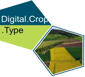
Type

- Variable crop grouping in between deliveries
- Increasing performance over the season
- Care about overfitting
- >90 over all accuracy with more than 60 classes
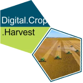
Harvest

- In-house development
- Harvest for > 98 percent of parcels are detected
- >80 percent precision and recall
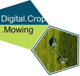
Mowing

- Over 1 million permanent grassland parcels are monitored
- Detected per grassland type/mowing rules
- Sign. better than Sen4CAP implementation

Cover

- Verifies FL/PG/PC changes
- Identifies bare soil exposure and crop/plant cover periods
- In-house development
- Based on topological models
- >85 percent accuracy

All components of the offered platform as well as the computing environment if fully Compliant with EU regulations and requirements

RegulationContains
EU 2021/2115Definition of eligible land uses and details of Permanent Grassland with Established Local Practices (PG-ELP); new GAECs; primary role of crop type distinction in CbMAMS
Products
EU 2021/2116
“Horizontal Regulation” (HZR)
Request for “ … procedure of regular and systematic observation, tracking and assessment of agricultural activities and practices on agricultural areas by Copernicus Sentinels satellite data or other data with at least equivalent value.”  - to be operational stepwise from January 2023 (AMS); 2025 (70% only by geo-tagged photos)Platform
& GUI
Services
EU 2022/1172 Supplementing RegulationNote: AMS QA still under evaluationQuality
Assurance
Tools
EU 2022/1173
Implementing Regulation
(“new IACS”)
Area Monitoring of (as a minimum):
(a) presence of ineligible area, in particular due to permanent structures;
(b) presence of ineligible land use;
(c) change in the category of agricultural area whether it is arable land, permanent crop or permanent grassland
AMS “New
IACS”
Products

Premium Products - IACS regulation

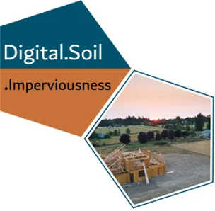
Imperviousness

Presence of ineligible area, in particular due to permanent structures

 Monitoring of changes of soil sealing due to substitution of original (semi-) natural land cover with artificial, often impervious cover
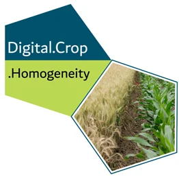
Homogeneity

Presence of non-homogenous land use

FOI validation and spatial cardinality - parcel homogeneity indicators accompanied by metadata to support traceability
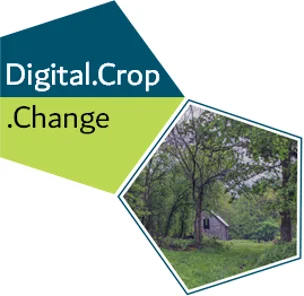
Change

Change in the category of agricultural area

Monitoring of changes between arable land, permanent crops, and permanent grassland

GeoVille Premium Products

Subscription Package - Bundle

  • Sentinel-1 / Sentinel-2 and PlanetFusion based Monitoring products
  • Level 3 Products – monthly updated
    • NDVI, COHE_VV, COHE_VH, PF Signals
  • Level 4 Products, includes
    • Crop Type Product
    • Grassland Monitoring
    • Harvest Detection
    • Crop Cover (Fallow Land, Permanent Green Cover and NFC/Catch Crops)
    • Imperviousness
    • Change
    • Homogeneity
  • Monthly updated GSAA declarations
    • possibly changed declaration
    • possibly changed parcel geometry
  • Access to products via
    • API for direct access (database-database)
    • within Web App
  • Quality Report for each product
    • In-Situ validation for each product
    • Statistical report for Quality Assurance
  • Set-up and Service provision
    • Fast setup and product delivery
    • SLA based guaranteed delivery

A proposition to Paying Agencies

or incumbent suppliers

Individual offer

In order to meet the needs, expectations and trust of Paying Agencies and the companies that support them, we provide assistance in selecting the necessary components of our solution. We will support you with consultation at the level of requirements, implementation, integration and maintenance of the system.

If you have any questions, in connection with the offer, would like to receive a tailored to your needs - write to Sales Department through Contact form.